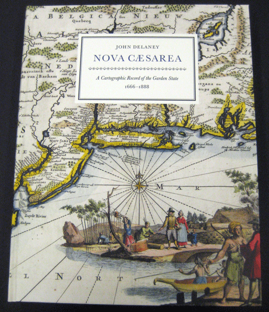
Nova Cæsarea: A Cartographic Record of the Garden State, 1666-1888
Purchase the Companion Book
The companion book to the exhibition is the largest (in all senses) work on New Jersey history to be published in its 350th-anniversary year. Only 1500 total copies were printed. Two editions are available for purchase:
The regular edition (1150 copies): $100
- 11” x 14” format; weighs 6 pounds
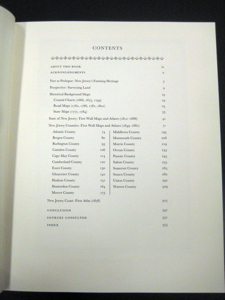
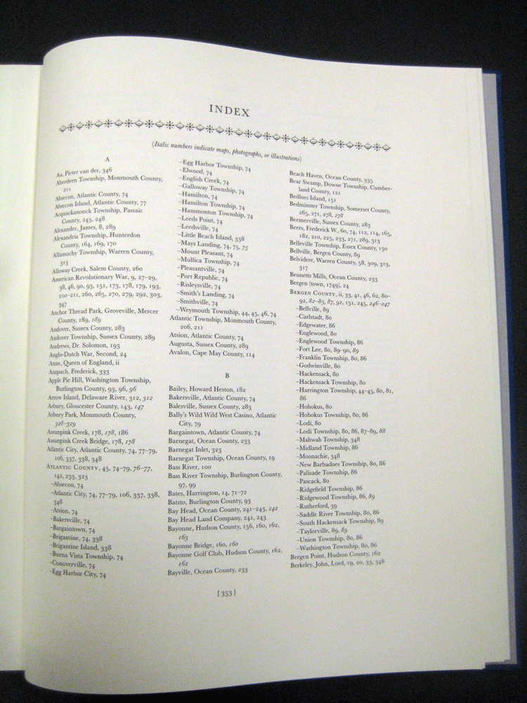
- 380 pages, including a 16-page index of place names and proper names, and all the titles of the maps.
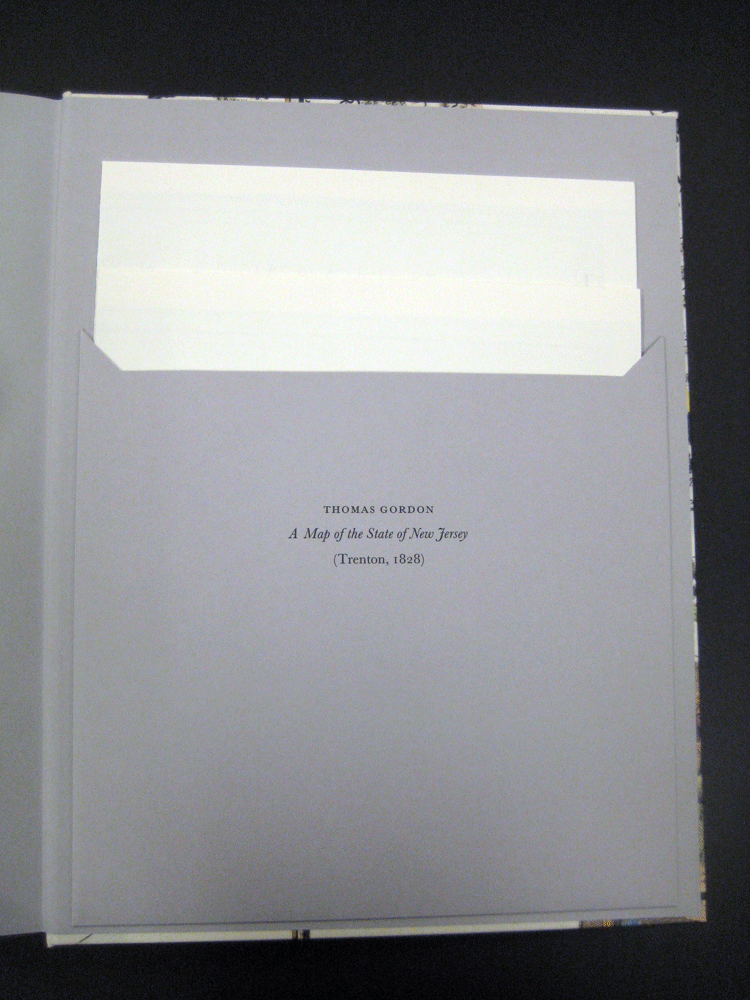
- A 26" x 38" facsimile of Thomas Gordon's landmark "Map of New Jersey" (1828) in the back pocket.
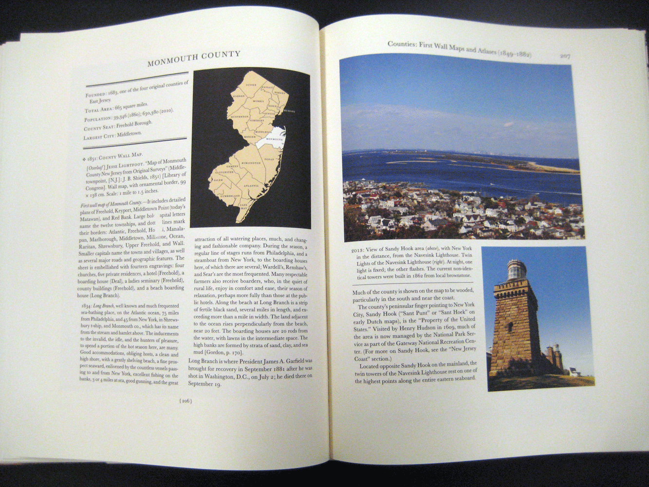
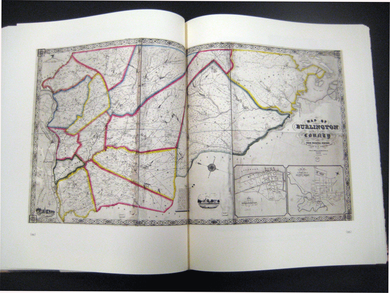
- 248 full-color images (maps and photographs) and 38 halftone illustrations.
- Copies are bound in litho-wrapped hard covers.
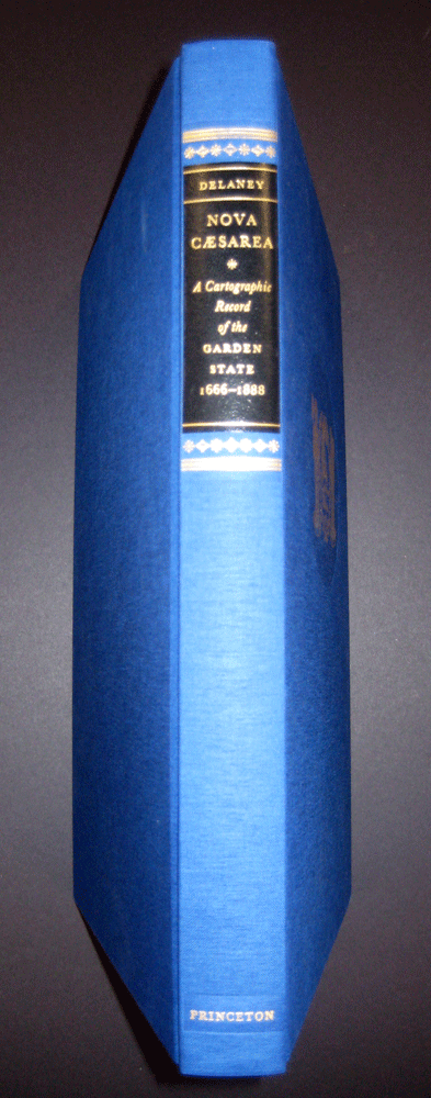
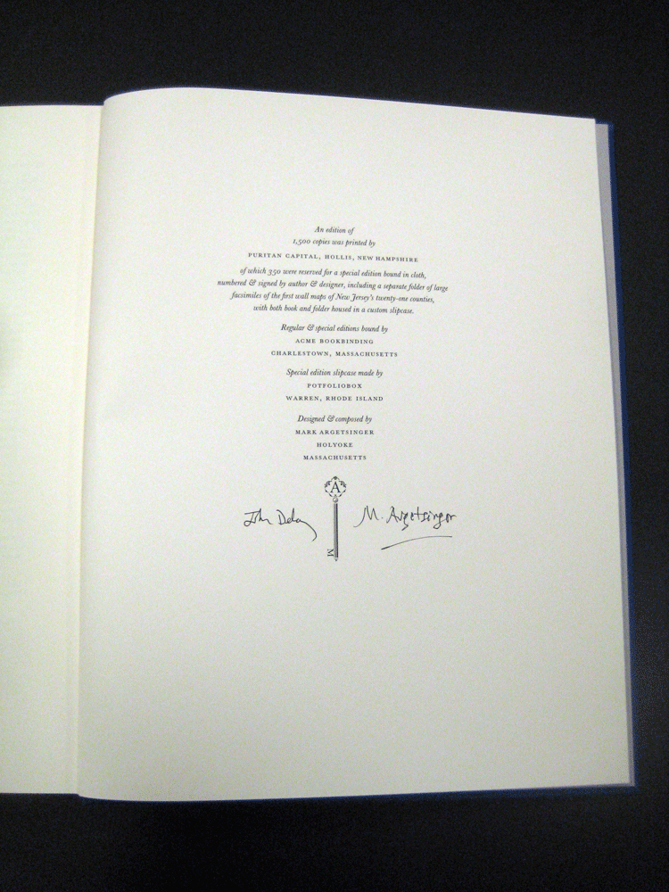
The special edition (350 copies in honor of NJ’s 350th): $250
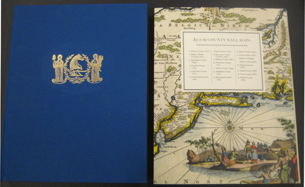
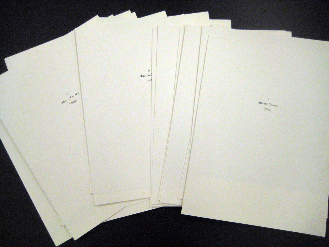
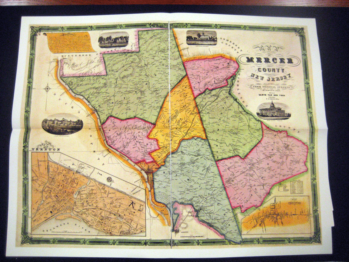
- Same as above but includes an extra folder of large facsimiles (22" x 28") of the first wall maps of ALL of New Jersey's counties: 19 maps representing 21 counties.
- The copies are numbered and signed by author, John Delaney, and designer, Mark Argetsinger.
- The copies are bound in blue cloth, lettering and image details stamped in gold.
- Both volume and folder are housed in a custom cloth slipcase. Weighs 10 pounds.
Diane Publishing distributes Nova Caesarea (as well as all other Princeton University Library publications).
Supplemental Images: